Don’t miss our Webinar on How to Operationalize Stakeholder Engagement in Energy and Infrastructure Projects.
Wednesday, April 13th. 11am (EDT)
- Our Software
-
Modules
Features
Learn more
Modules
-
- About Us
- Solutions
-
- Pricing
- Resources
Don’t miss our Webinar on How to Operationalize Stakeholder Engagement in Energy and Infrastructure Projects.
Wednesday, April 13th. 11am (EDT)

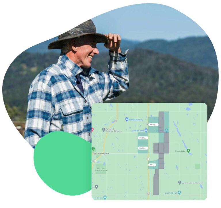


We know you work hard to keep projects moving and secure access, all the while maintaining trust with landowners and communities. But without a system that can have everyone view and update the information, key details get lost.
You deserve software that makes land access easier. Borealis helps you track every agreement, land access condition, commitments, and mostly stay compliant, and keep your team aligned, all in one place. Let’s chat about your challenges and how we can help.

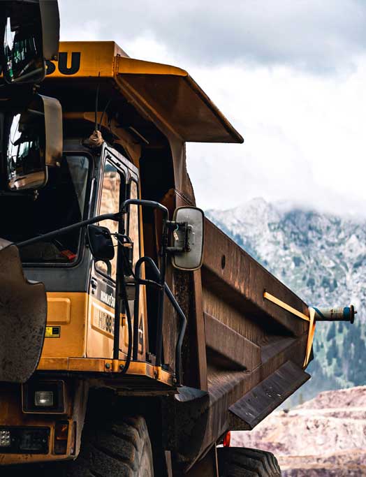
Land access and dialogue with landowners is just one part of the bigger picture. Successful projects require coordination across multiple business functions such as community outreach, land management, engineering, governmental affairs, and risk and issues management.
With Borealis, you get one connected system that brings GIS-based land data together with stakeholder engagement, grievance management, and social investment programs.
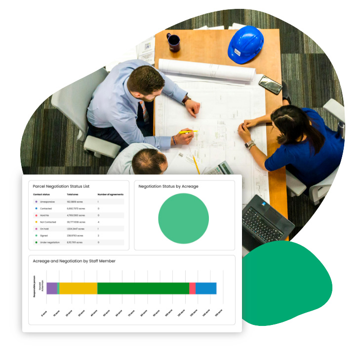
Surface key points from agreements, negotiations, and communications automatically to save time and reduce risk.
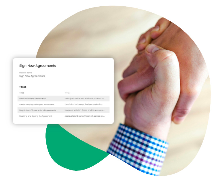
Manage negotiations, communications, and conditions for access in one place. Keep detailed records, monitor commitments, and track agreement status on a map to ensure compliance and up-to-date information.
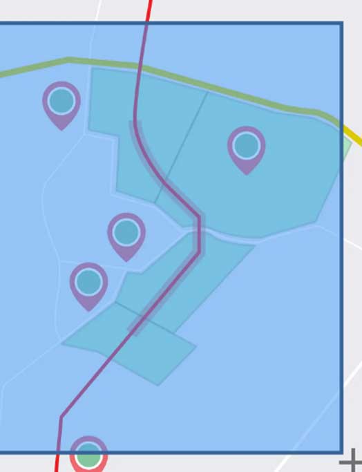
Visualize agreements, commitments, and stakeholder engagement by geography, asset, or administrative boundary—ensuring data is always tied to the right location.
Easily connect your other business-related apps to the Borealis app to improve your workflows and ensure nothing gets overlooked.
– Public Affairs Advisor, CN
– Alain Parisé, Land Director, Trans Mountain
– Community Engagement Manager
“Before adopting Borealis, generating a line list for a project was a time-intensive task due to fragmented data across legacy systems and spreadsheets. For major projects, this process could take 4-6 hours, depending on the size and complexity. Since implementing Borealis, the same task now takes only 15-30 minutes, thanks to centralized and authoritative data. With Trans Mountain executing approximately 300-400 projects annually, ranging from small maintenance tasks to large-scale operations, these time savings add up to a substantial impact on overall efficiency.”
– Gary Gee, Management Consultant, Beniva Group
“Using a centralised system gives us the ability to report on all active agreements and track agreements under negotiation. It also provides confidence in the accuracy of our data, ensuring all payments are made in line with the terms of each agreement. As a result, we have halved landholder payment processing time and can now provide our Accounts team with a clear, easy to read fortnightly report with the ability to easily view and report on all payments made.”
– Cheryl Archer, Stakeholder Support at Windlab

“I’d like to share the strong first impression I’ve had working with Borealis stakeholders management software. It has already proven to be a valuable tool in enhancing the workflows of our Land Access and Community teams across global exploration projects.
The platform has improved the accuracy of our data and strengthened how we track and manage communication with external stakeholders.”
Rodrigo Otárola – BHP Chile, Corporate Affairs Specialist
– Public Affairs Advisor, CN
– Alain Parisé, Land Director, Trans Mountain
– Community Engagement Manager
– Gary Gee, Management Consultant, Beniva Group