Don’t miss our Webinar on How to Operationalize Stakeholder Engagement in Energy and Infrastructure Projects.
Wednesday, April 13th. 11am (EDT)
- Our Software
-
Modules
Features
Learn more
Modules
-
- About Us
- Solutions
-
- Pricing
- Resources
Don’t miss our Webinar on How to Operationalize Stakeholder Engagement in Energy and Infrastructure Projects.
Wednesday, April 13th. 11am (EDT)
Borealis land management software helps teams across the oil & gas, renewable, utilities, transportation and mining sectors centralize all data related to stakeholder engagement and land acquisition in one place, making it easy to share information, eliminate oversights, and coordinate efforts across teams.


By bringing together GIS capacities, AI, and stakeholder management functionalities in one advanced land management software, Borealis provides one-single platform to manage:
Borealis software lets organizations manage stakeholder engagement, consultations, land acquisition, land access conditions, negotiations, agreements, commitments, right-of-way, easements, compensations, issues and complaints, community benefits agreements and more in a single platform.
Plan effectively
Engage proactively

Monitor permitting and environmental compliance
Unify all your stakeholder and land asset information in one platform by importing their information from your other databases quickly and easily.
Community Engagement Manager
– Alain Parisé, Land Director, Trans Mountain
Public Affairs Advisor, CN
Community Engagement Manager
– Alain Parisé, Land Director, Trans Mountain
Public Affairs Advisor, CN


Use tags, categorization, or location to quickly create a distribution list so you’re always ready to contact the right people, with the right message at the right time


Securely record and classify emails and calendar items from Outlook or Gmail without ever leaving your email environment.
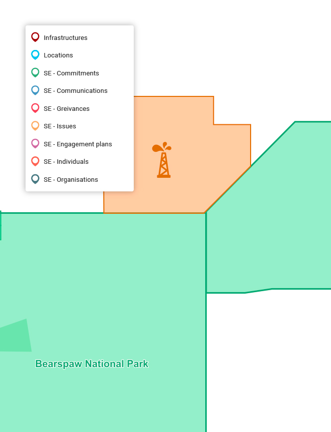
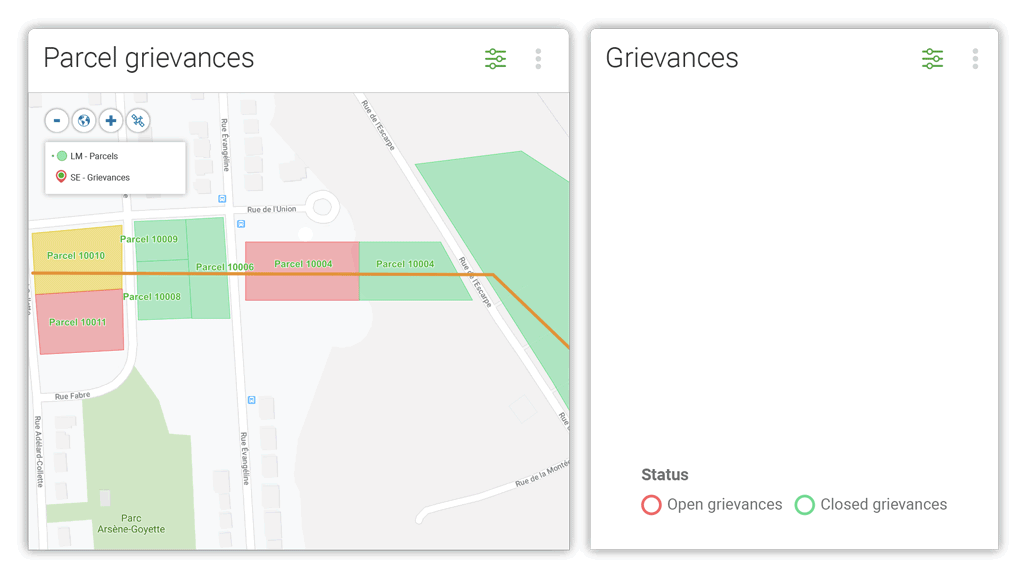
Visualize stakeholders, issues, and land units on a map. Overlay geographical data to identify protected regions, environmental justice areas, indigenous lands, municipal boundaries, and any other GIS layers.
Send personalized letters or emails to groups of stakeholders and automatically create a record of each communication.
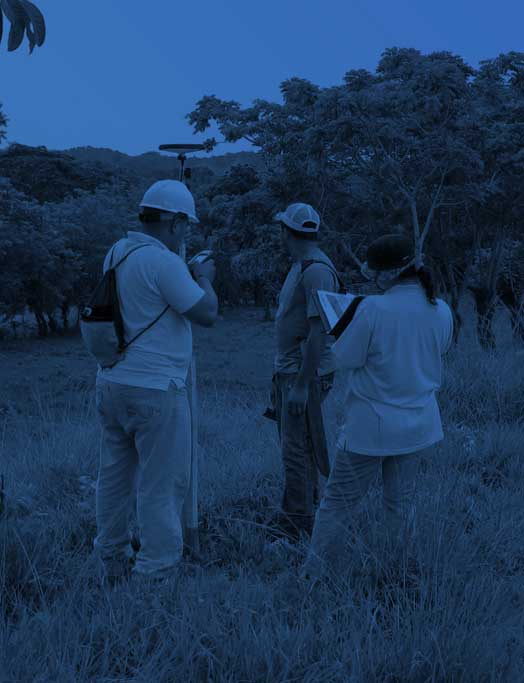
Access real-time data about land parcels and agreements on the go. Update stakeholder information & enter details of your engagements right from the app, to boost productivity and reduce time spent entering data after a visit.
Leverage geographic information to quickly identify parcels of interest, plan your engagement strategies and centralize all interactions in one easily accessible place.
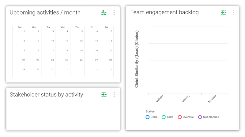
Create tasks for yourself or your team, set target dates, schedule reminders, and monitor progress in real time.

Plan your stakeholder engagement strategies, track all community commitments, manage social risks, and resolve issues, disputes and grievances.
Manage public affairs and advocacy campaigns, shape lobbying agendas, and influence regulations and policies that matter most to your organization.
Plan, track and report the results of stakeholder engagement activities related to sustainable development goals and grow your triple bottom line.

Do you work on energy, extractive, or oil and gas projects? Find out how Borealis land management software can help simplify siting, construction, and operations in land-based projects.