Land management

Minimize project resistance and delays

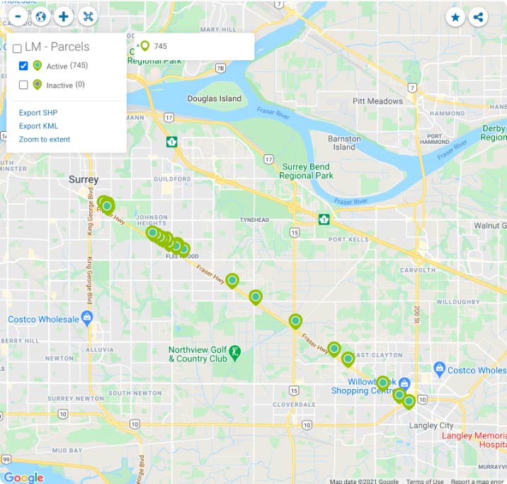
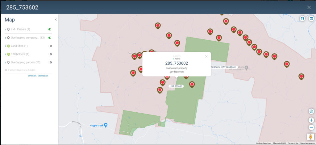
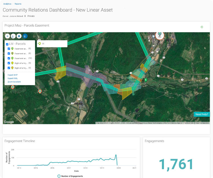
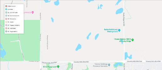
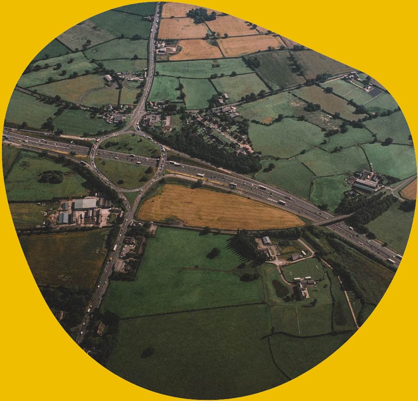
The Land Management module allows teams to improve engagement outcomes and minimize the risk of unnecessary work delays or stoppages by giving them the tools to centralize and map all land-based assets and link them to engagement plans and project stakeholders.

Keep data at your fingertips
and avoid being blindsided

The Land Management module centralizes all land project stakeholder data
and keeps it right at your fingertips to simplify day-to-day tasks.

Centralize & map all data related to company assets

  • Easily import data in batches, including property information and land titles.
  • Map all company assets — both existing and planned.
  • View overlapping stakeholders, land parcels, land units, other assets or heritage sites.
  • Define a buffer zone around assets to identify affected stakeholders.
  • Link issues, communications and grievances to an asset to get a real-time overview of engagement activities around your infrastructures.
drill down on maps to engage more meaningfully

Drill down on maps to engage more meaningfully

  • Link information to parcels and land units to build a reliable corporate memory across projects and over time.
  • Always have access to up-to-date information when you need it most — such as during public hearings — to quickly address tough questions and avoid being blindsided.
  • Link easement agreements to stakeholders and track in real time which right of ways have been signed.

Track progress & demonstrate compliance at a moment’s notice

  • Track the evolution of your engagement activities in real time, parcel by parcel.
  • Extract information showing who you have been communicating with and when to prove compliance with industry regulations and investor requirements.
  • Easily generate professional-looking reports for internal and external stakeholders, and customize them to their exact needs.

Features that simplify your land management activities

Heritage sites

Manage and document heritage sites with transparency and accountability to facilitate agreements with affected communities.

API function

Import various shapefiles to obtain a clear view of impacted land areas, natural resources, assets, and infrastructure.

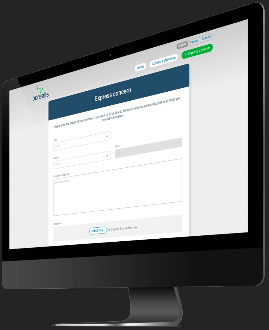
Let stakeholders easily file grievances online 24/7 (anonymously or not) and stay informed of their status.

Implement a structured, transparent process to manage all information about land agreements in one place. Properly identify affected parcels and landowners to minimize oversights. Keep detailed records of negotiations, payment installments, and conditions for access to ensure that all commitments made are kept. (Add-on feature) 

Increase your knowledge of
stakeholder engagement practices
in land-based projects

5 reasons why Borealis is the perfect tool to manage stakeholders in asset-based projects
Turn Stakeholder Engagement into a Higher ESG Score
Stakeholder management and mapping within land assets
  • Image-mosaique-borealis team

Contact us

See how we can configure Borealis to your needs
to vastly improve your stakeholder data
management in land-based projects.

Manage all aspects of environment,
social, and governance from a single platform.
Simply add other modules as needed.